
Finding GIS Data

Introduction
Wisconsin Department of Health Services Open Data Portal
Homepage: https://data.dhsgis.wi.gov/
About: This website is where you can find, view, and download GIS data from the Wisconsin Department of Health Services.
Data Available: Shapefiles, Service endpoints
Topics Include: COVID-19 data, Hospitals, Clinics, Service Areas, Health Departments, Local offices, Long-term care facilities, nursing homes, Food share, family care, etc.
Instructions
How to get GIS data
1. Navigate to the data portal: https://data.dhsgis.wi.gov/
2. Choose one of the pre-defined categories or use the search box.
3. Click on a dataset to see more information.
4. Use the "download" drop down box to see available formats.
5. Alternatively, use the "data source" link to see the URL for the live service layer.
COVID-19 Instructions
How to get COVID-19 data
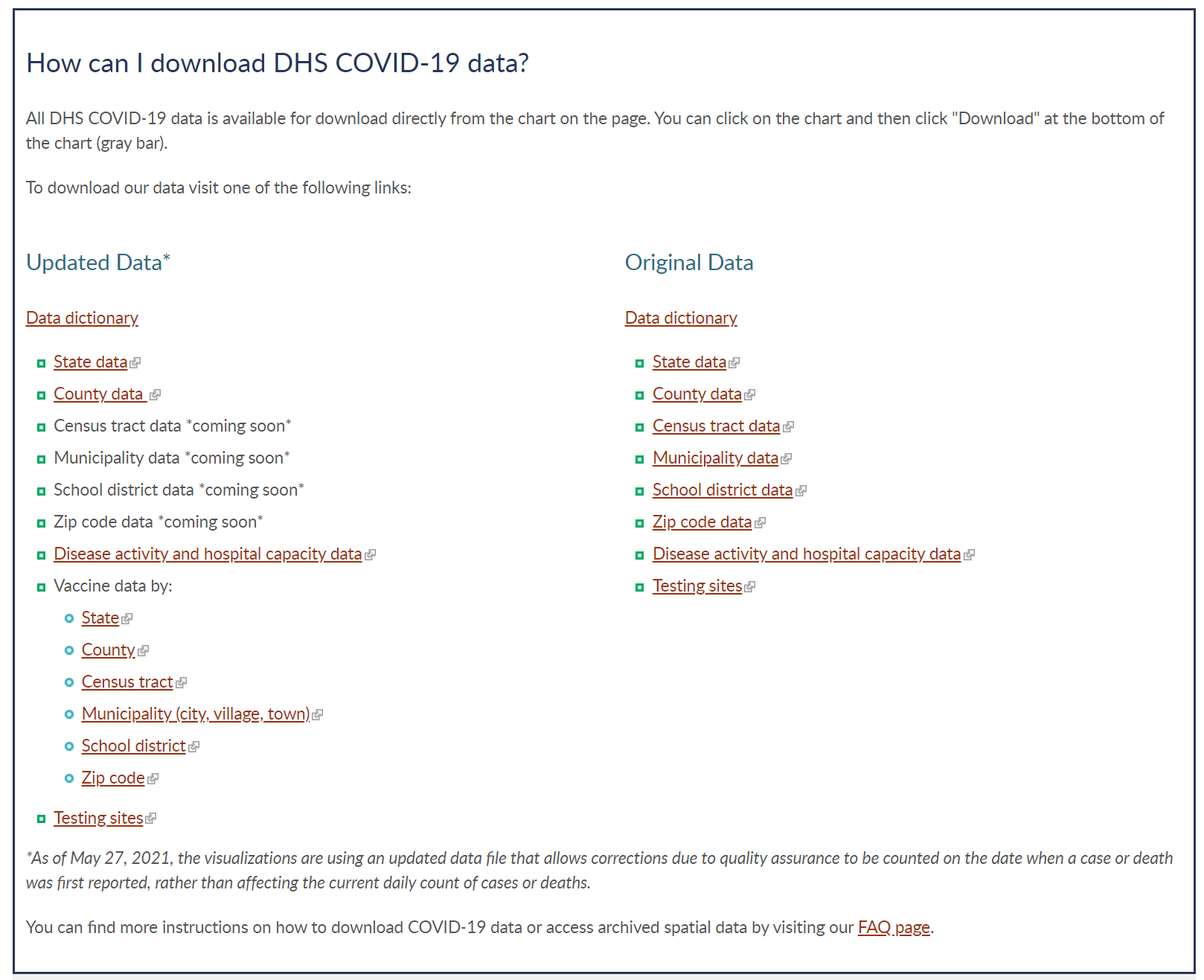
1. COVID-19 data is highly available and is one of the topics the Wisconsin Department of Health is focusing on. Here you can download the following Wisconsin data sets:
- COVID-19 Case Data
- COVID-19 Vaccination Data
- COVID-19 Testing Sites
2. Click whichever dataset that is most applicable to your use. (In this example we will be using COVID-19 Case Data)
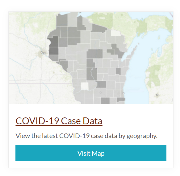
3. Scroll to the bottom of the page to choose which dataset is most applicable. For the most updated State and County data choose the Updated Data*. For larger scale map data you can choose the data on the Original data column.
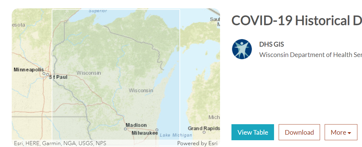
4. Once you select your data it will direct you to this page. Simply click the download button to obtain the data.
The Contents of Finding and Using GIS Data may be reused with attribution for Non-Commercial purposes.
Finding and Using GIS Data by Board of Regents of the University of Wisconsin System is licensed under a Creative Commons Attribution-NonCommercial 3.0 Unported License. 